Batinovac Lake (Jezero Batinovac)
-

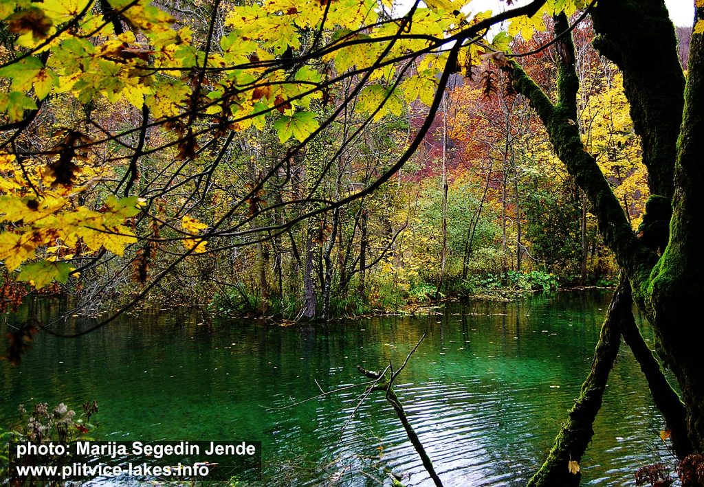
- Walking along Batinovac Lake @ Plitvicka Jezera National Park
Batinovac jezero (Batinovac Lake) also known as Bakinovac is the fourth highest lake in the whole lake system, located on altitude of 610 meters above the sea level. It is one among the smallest lakes, covering the total area of just over 1 hectares with max depth of 5 meters in the very centre of the lake. The total length of the lake is about 140 meters while total width is just under 80 meters. The lake belongs to group of Plitvice Upper Lakes.
Batinovac got its name after ‘baka‘ and/or “batinic” which in Croatian means ‘granny‘ while ‘Batinić‘ is a widespread surname.
The lake is fed by waters from higher Okrugljak lake and by waters of canal dug from Prošćansko lake.
Batinovac is surrounded by tall beech trees and lovely paths that leads along the series of small waterfalls that where created of travertine, mosses and herbs while the shores of the lake are bordered by low barriers and low vegetation as well as by some tall trees.
The waters around here are of a lovely colours due to its depth and surrounding vegetation, while reflections of the colours in the water corresponds to seasons – (see autumn and spring in the lakes photos). The constant sound of the water soothes hence on a clear and sunny days the scene, mood and the magic of the moment is trully unforgettable.
Strolling around Batinovac is possible using wooden walkways and paths around the lake, passing by small patches of water covered by reed that grows in waters and surrounding marshy grounds. Edges of the lake are abundant with numerous small waterfalls.
Popular Routes: Zagreb to Plitvice, Zadar to Plitvice, Split to Plitvice
At the end of the lake, part of its water flows down by a waterfall to the Galovac while other part overflows via very low barriers and small cascades into other lakes located north of it (aka Veliko jezero)
Location Map Lake Batinovac:
Batinovac GPS Coordinates:
44.871741, 15.603172 /44°52’18.3″N 15°36’11.4″E