Kaluđerovac Lake (Jezero Kaludjerovac)
-

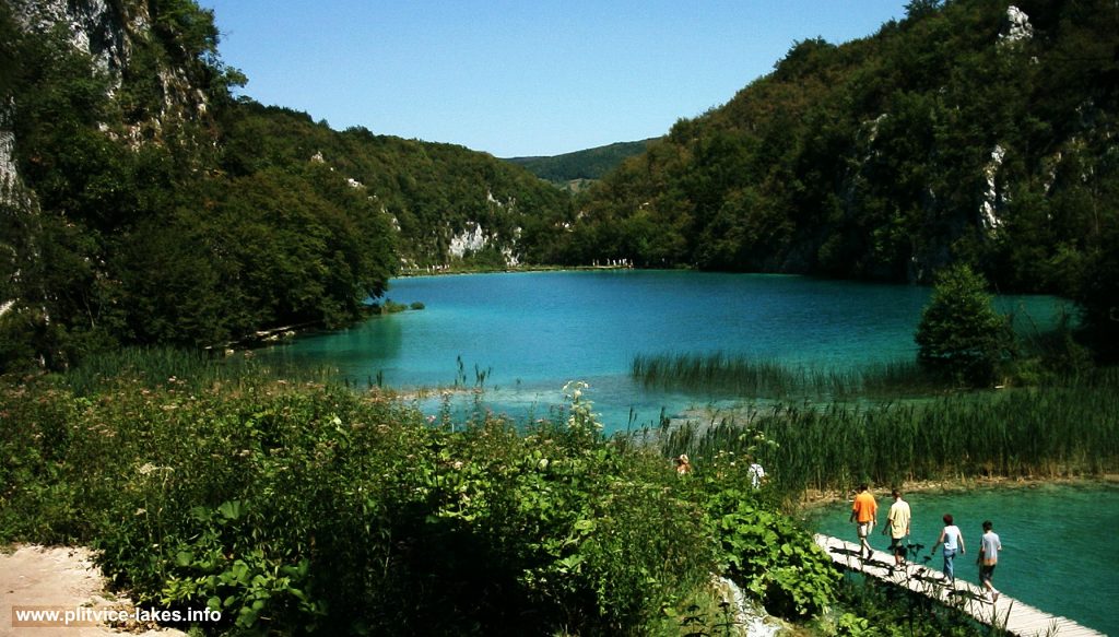
- Approach to Kaluđerovac Jezero @ Plitvice Lakes, summer
Kaluđerovac jezero (Kaluđerovac Lake) also known as Kaluđerovo is the third highest lake in Plitvice Lower Lakes, located on altitude of 508 meters above the sea level. It is one of the largest lakes in this part of the system, covering the area of just over 2.1 hectares with maximum depth of 14 meters. The length of the lake is 225 meters while the width is between 70 and 95 meters. The lake belongs to group of Donja Jezera (Lower Lakes)
The lake is fed by waters from Gavanovac via wonderful Great Cascade (Velike Kaskade) falls.
Kaluđerovac got its name after ‘Kaluđer‘ – the local monk (hermit) who used to spend his time in the cave above the lake (Šupljara cave)
Situated in the steepest part of the canyon, bordered by cliffs, some of them more than forty (40) meters high, from where there are some good places to enjoy the views, the lake is abundant with various fish species.
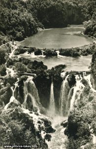
At the end of the lake, there is a two meters high small reed covered plateau / travertine barrier, where there is a wooded path under which the water flows down into next lake – Novakovića Brod (see areal photo) .
Location Map Kaluđerovac:
Popular Routes: Zagreb to Plitvice, Zadar to Plitvice, Split to Plitvice
Kaluđerovac GPS Coordinates:
44.901258,15.610906 / 44°54’04.5″N 15°36’39.3″E
Small photo gallery of Kaluđerovac
-
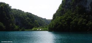
- Crossing Kaluđerovac lake @ Plitvice Lakes, views towards Gavanovac
-
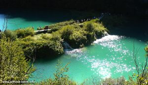
- Barrier path between Kaluđerovac and Novakovica Brod lakes @ Plitvice Lakes, Croatia
-
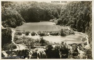
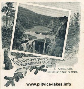
- Kaludjerevo Jezero and Novakovica Brod (1900)
-
- Panorama views of Kaludjerovac and Novakovica Brod from Upper Path (1950s)
-
- Views over Kaluđerovac, Novakovica Brod and barriers (1960)